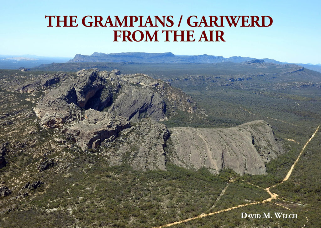
The Grampians / Gariwerd from the Air
David M Welch
ISBN 978-0-6455122-0-5
2023
The Grampians – Gariwerd from the Air describes many features of the Grampians National Park, providing bird’s eye views rarely seen by Park visitors. Aerial views of mountain peaks and ranges, castle-like rocks, spectacular cliff lines, valleys and gorges, and lakes and reservoirs, can assist those planning to hike into its remote regions. The comprehensive index lists more than 80 features found in the area.
The Grampians, or Gariwerd, are an impressive chain of mountains in western Victoria which rise nearly a kilometre above the level of the surrounding plains. Their Aboriginal name, Gariwerd, was originally the name of one section of the mountains, and was recorded by the Chief Protector of Aborigines, George Augustus Robinson, in 1841.
Their European name, The Grampians, was applied by the surveyor / explorer Major Thomas Mitchell, who led the first expedition of white people to the area in 1836, travelling overland into the region from Sydney on the east coast of Australia. From studying his journals and that of his assistant, I learnt that he initially called them the Coast Mountains because he believed he was nearing the coast, then the Gulielmian Mountains after King William of England, and finally The Grampians because they reminded him of the Grampian Mountains in his home country of Scotland. Mitchell did obtain Aboriginal names for some of the peaks, but there was no single name for the entire range.
The mountains are predominantly composed of compressed sandstone (quartzose sandstone and quartzite), mudstone and conglomerates, laid down around 430 million years ago when the area was under water. Although they rise up from the plains of western Victoria, they are actually part of the Great Dividing Range, the bulk of which runs in a north-south direction along Australia’s eastern coast. Millions of years ago, due to changing sea and land levels, the area that is now the Grampians / Gariwerd formed part of the east coast of Australia.
Around 400 million years ago, magma extruded through the earth’s surface, leaving a few rounded granite hills between the Victoria (Billawin) Range and the Serra Range in the south of the Grampians / Gariwerd region. The rounded shape and weathering of these hills are in stark contrast to the jagged edges of the dominant sandstone mountains in the Grampians / Gariwerd.
For tens of thousands of years, the region was inhabited by groups of Aborigines, who left their mark in the form of rock shelter paintings and archaeological deposits. The earliest date for Aboriginal occupation in the area is 22,000 years ago, but it is likely that people were in the region long before this, because it is now known that Aboriginal people were in northern Australia as early as 65,000 years ago. The finer details of the history and features of the Grampians / Gariwerd region are revealed in my book A History and Field Guide to the Grampians (Gariwerd), Western Victoria.


